Avalski VenacAvala Land and Community: Re-Inventing Belgrade's HausbergBeatrice Kiser and Corina Tripet
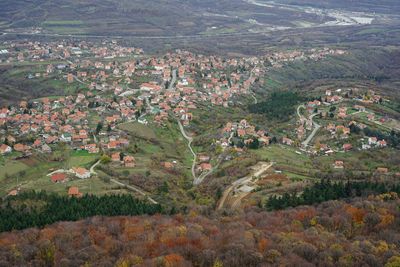
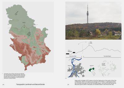
The highest peak on the city’s horizon, the mountain of Avala (511 m), is located 16 km south of Belgrade’s historic town and one of the first landscapes protected as a landmark and national monument in Serbia 150 years ago. Today, the mountain is surrounded by remaining agricultural patches and growing suburbs. The construction of a highway encircling the city has brought this former weekend retreat in close range, attracting more and more citizens who try to escape the saturated city centre and its increasing real estate prices.
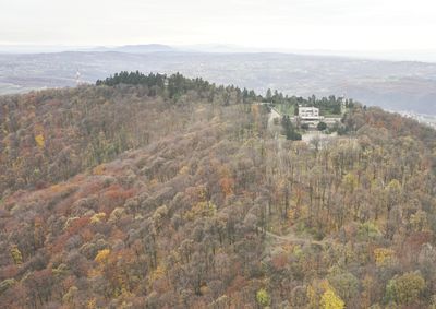
Climbing the Avala mountain, a popular weekend activity for Belgradians and the Serbian people, offers views of the city and Pannonian Plain to the north and into the Šumadija mountains in the south. A hotel, restaurants, hiking paths, and camping grounds cater to the visitors, while the main attraction remains the Avala Television Tower, destroyed by the 1999 NATO bombing and rebuilt entirely a few years later. Several national monuments were erected on the mountain, adding a strong symbolic meaning to the public character of this place. As one of Serbia’s most maintained landscapes and memorial sites, it has been developed as a tourist destination in Belgrade’s vicinity. It also used as an essential source of Avalide, a local stone that used to be extracted in the Avala quarries. The mountain was declared successively a “national park,” “public property of general interest,” and is today named a “sports and leisure area” by the 2021 Belgrade Master Plan. With growing importance as an affordable neighbourhood with a good connection to the city, the public landscape has a vital role in the urban consolidation of the periphery of Belgrade.
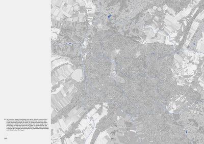
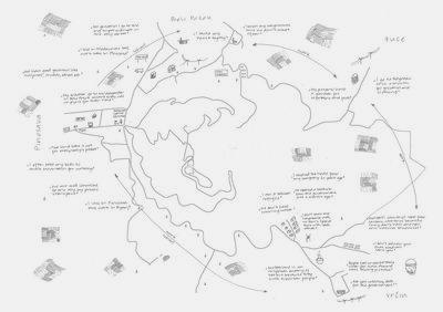
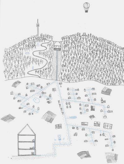
The project Avala Land and Community: Re-inventing Belgrade’s Hausberg explores how the memorial mountain could perform as a multi-layered public landscape. Based on the Hausberg concept, the proposal reinvents Avala, a metropolitan landscape performing as a tourist destination, recreational and resource space while strengthening local communal identity. Ideas of existing territorial reorganisation and the formation of the “Avalski Venac” community are reactivated and put forward to solve the growing community’s water shortage problem. The unique topographical location of Avala is utilised more efficiently by densifying water-related infrastructure. The project establishes public spaces for the municipality at Avalas foot and a water reservoir on its top to supply the peripheral metropolitan region of Avalski Venac with fresh water.
