NatureMetropolitan NatureLuca Bazelli and Matthias Müller
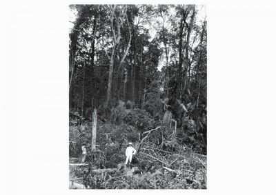
Between 1854 and 1869, the British explorer and naturalist Alfred Wallace created an extraordinary journal of natural wealth of the region, The Malay Archipelago. Upon his visit to the island of Singapore, he wrote of the “most luxuriant” vegetation, gambier plantations and forests with free roaming tigers, and of 700 species of beetles he had collected there. He praised the favourable conditions of climate and soil on this spot, deeming it “productive” beyond any other he had visited in his travels in the East.
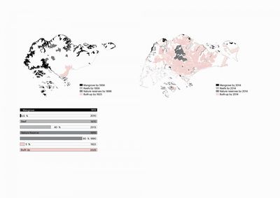
But already during the 19th century, after the port settlement had been established in 1819, the urban transformation the island was far reaching. Agriculture, the building of roads, railways and buildings led to the cutting down of jungles, drying of swamps and disappearance of coastal mangrove forests. During the 20th century, the effects on the physical environment of urbanisation and industrialisation intensified. The post-independence development agenda during the 1960s, 70s and 80s emphasised on Singapore’s economic autonomy from Malaysia, brushing other concerns aside. Bedok, East Coast and Jurong areas were among the first to undergo a complete transformation of the physical setting, the “cutting” of hills and “filling” of the coastline. Until today, the land reclamation has added around 25 % to Singapore’s land area, replacing much of the old coastline with a new artificial interface between land and sea.
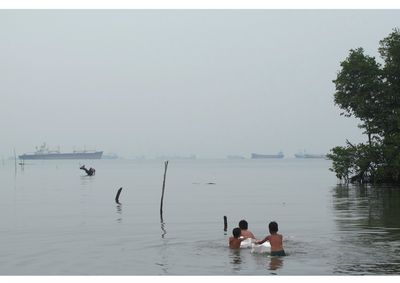
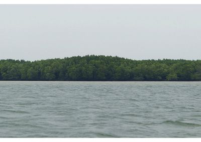
The 1980s brought regionalisation of economic processes, with manufacturing, electronic industries and agriculture leading the migration from Singapore to Riau and Johor. These processes were helped by independent initiatives by Malaysian and Indonesian governments to industrialise, including the massive palm oil production, and the development of petrochemical facilities (such as Pasir Gudang) for processing, storing and trade of oil along the Straits of Singapore and the Straits of Johor. As a consequence of the high paced growth of cities in the last three decades, much of the tri-national region has experienced the same pressures on ‘nature’. Huge reclamation projects are today equally characteristic of the coastlines of Singapore, Batam Islands and Johor Bahru. It is estimated that in Singapore, 99 % of all original mangrove forest has been extinct, while the Johor State has experienced the highest mangrove losses in Malaysia, with 42 % reduction since the 1970s. The impact on marine ecosystems of the shipping movements, dredging, reclamation and the spilling of chemical material is high throughout the region. In Singapore alone, more than 80 % of the territorial waters are used for the activities of the port, corresponding to large reduction of coral and other habitats. The absence of freshwater sources in Singapore and Riau led to the building of reservoirs, starting with MacRitchie Reservoir in 1867. The damming of river mouths along the coasts to collect fresh water has changed most of the former brackish streams.
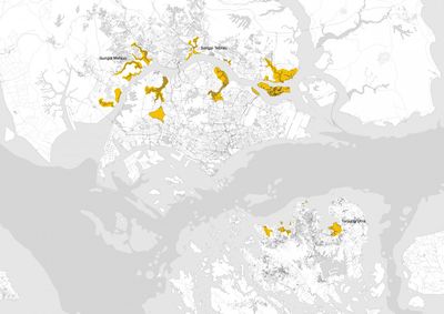
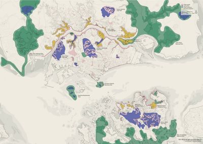
Looking at the sites and practices of nature protection in Singapore, Batam and Johor, it is first apparent that, in the region focused on the sea, the coastal areas have been especially sensitive to change. In the port cities, the access to the sea has been crucial for much of the logistics, industries and even the military; through real estate and tourism the coast has become a commodity too. At the same time, the costal areas are also the places of the richest biodiversity, of concentration of traditional settlements, culture and economy, thus also the areas where most valuable heritage sites can be found.
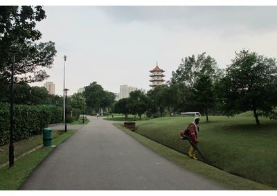
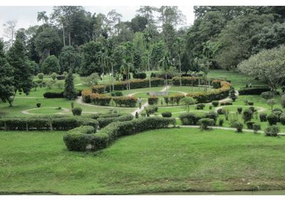
It is further apparent that so far economic development agenda had dominant role over “nature” or any other possible agenda in guiding urban growth. Instead, “nature” reemerged in region as the byproduct of urban development. The state institutions in Singapore have promoted parks and greenery with human-centred, utilitarian and economic function. Nature was coupled with other urban functions, such as land reservation and military zones in Changi, Kranji and the Southern Islands, or source protection in Bukit Timah. The tendency that emphasises on environmental management and engineering solutions to ecological and environmental conflicts in the growing city has prevailed. An important part of incorporation of nature into the urban development has been the practice of “greening” Singapore, focused on urban and aesthetic function of greenery for the city dweller. This served urban branding purposes as well, promoting Singapore as “garden city,” the “city in the garden” and even the “greenest city on Earth.”
Thought Singapore, Johor and Batam form a cross border metropolitan area, they are also three cities in different stages of development, and with differing conceptions and mechanisms of nature protection. For example, the Iskandar planning authorities have given high attention to the coastline of Southern Johor in their plans, but they might not be able to implement them. In the Riau Archipelago, the plans and mechanisms of nature protection are still weakly developed. In all three cities, growing concerns over role and place of nature are increasingly evident.
The goal of the project has been to explore a common vision for nature protection in the tri-national region, and to provide arguments for nature areas as “productive areas” that can substantially raise appeal and value of living, work and leisure in the cross-border metropolis. The project emphasises on the dimensions of nature protection so far missing in the region: it explores the opportunities for cross-border nature protection; it emphasises the protection of biodiversity; it also considers nature as form of heritage.
