Lac LémanA Unifying FigureCyril Dériaz and Robin Gevisier
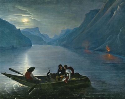
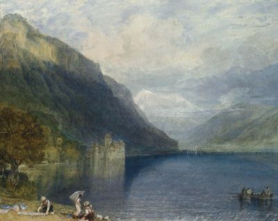
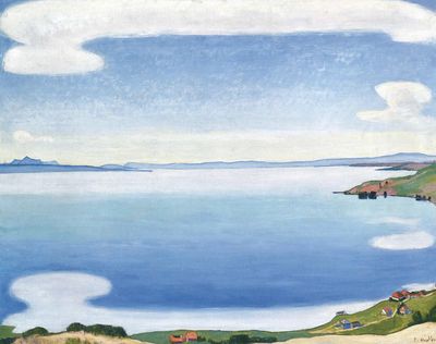
Extending along the coast of Lac Léman and from the lake up to the alpine slopes, the Léman City does not have a single centre. The lake is the dominant landscape element, defining an empty space in the middle of the metropolis. Until the early 19th century the strategic value and everyday use of the lake were foregrounded; historic paintings represent lake scenery with fisherman. Houses built along the lake did not face the water but rather the landscape behind, and urban quarters close to the lake (like Geneva and Ouchy) were not popular. The lake was understood in a more pragmatic manner, as fishing grounds and water source, rather than a picturesque landscape featured with an alpine background.
Representative promenades along the shore were only developed in the early 1830s, with the advent of tourism in the region. The beauty of the lake and its surroundings quickly became famous and attracted a growing amount of international travellers, and tourist facilities introduced new economic potentials in the region. Lac Léman came to be understood as the core element of the metropolitan culture and identity. Today, we can understand Lac Léman not as a void, but as a unifying figure engaging the cities and settlements around it—a mediating element between the natural environment and the metropolis.
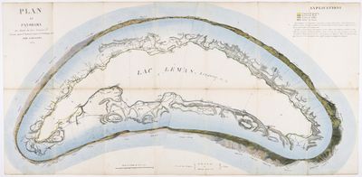
Plan et panorama des bords du Lac Léman, Jean Dubois, 1824.
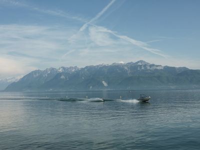
Many historic illustrations, such as “Plan et panorama des bords du Lac Léman,” depict the complex relationship between the lake and the settlements and have helped create its recognisable and desirable image. But how can we represent the contemporary Léman City? Entering a boat to reverse the common view of the metropolitan region, we want to set sails and explore the Léman City as seen from the lake. The view over water will help us create an “elevation,” or a panorama of the metropolitan region. In this reversed perspective, we want to explore the urban panorama as a research and design instrument.
The Lake Room
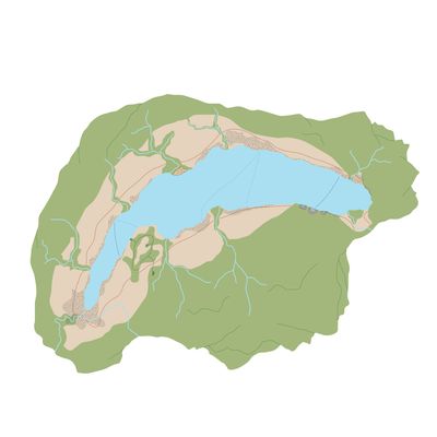
The natural landscape of the Léman is shaped by two elements; a plan of water set in a frame of mountains; the blue and the green.
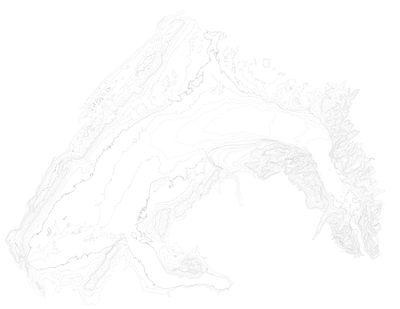
The topography creates a room around the lake with only few openings. The crests of the Jura, Salève, Chablais and Alpes Vaudoises define the visual limit.
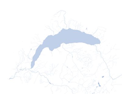
The lake is more than a single object, the water catchment area delineates a bigger “lake room” extending from the Jura in the north-west to the Mont-Blanc massif and the Rhône valley in the south-east.
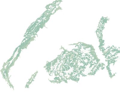
To the mountain chains correspond vast forest ensembles, sometimes expanding to the plain and around the rivers.
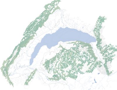
Together, the natural elements frame the territory of the Léman. The green and the blue set its external and internal boundaries, but what happens in the space in-between?
The Urban Belt
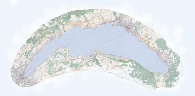
The Léman city unfolds between the water and the peaks. This belt shaped region around the lake is not a uniform entity, it sometimes expands to vast plains, other times shrinks to a thin line between the forest and the shore. To understand its nature we traveled by car, documenting its diversity.
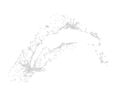
Outside the urban centers, a net of low density housing is developing in every regions of the basin. On one hand it reveals its dynamism, on the other hand it challenges the conservations of its landscape and the development of appropriate infrastructures.
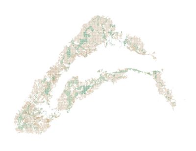
Together with the built areas, the landscape of the metropolis is dominated by low altitude forest and agriculture. This space is carefully taken care of without any part being left over. Yet its fragmentation is a threat to its quality as accessible open space.
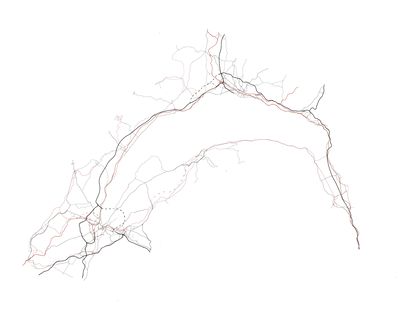
The trains and the roads build a continuous web around the lake, the missing part on the French side are going to be built in a near future. This network is of great importance for the metropolis, connecting the various centers together. Yet, it often neglects the broader connexion to the landscape, cutting the mountains from the water.
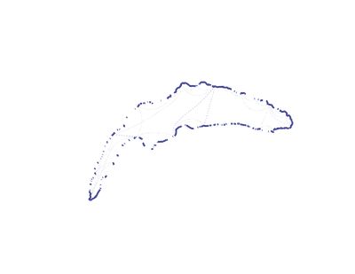
The phenomenon of urbanizations leaves about only 50 % of the coast accessible, with unequal qualities. Over water transportation has three regular boat lines for commuters and several less regular touristic ones. Given the development of urbanizations on both sides, accessibility and crossing possibilities are two key issues.
From the Mountains to the Lake
The urban belt and the geographic room shape together the contemporary Léman region. Despite the great natural setting, the urbanization has led to a fragmented landscape and a disconnection between the mountains and the lake. Our aim is to reinforce the relationship between the mountains and the lake, creating a perpendicular link through the landscape. The access to the lake being also a key point, we want to give a particular attentions to this moment of the vertical travel. Thus, the landscape should be strengthened in its role as a defining element for the metropolitan identity, not only as an idyllic background, but also as an experience for its inhabitants. Only with these ingredients, we can imagine the Léman as a unifying figure, the true center of the Léman city.
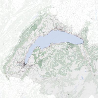
- Boat lines
- Built-up areas
- Visual limit
- Agriculture
- Forest
- Train lines
- Roads
- Water
- Projects
The Eye of the Cyclone
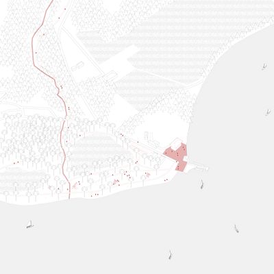
The two agglomerations of annemasse and Thonon are growing at a quick path, swallowing more and more villages and agricultural land to turn them into peri-urban dwellings. Between these two poles stands a plot of land with uncommon feature around the Léman. Everywhere else around the lake, the coast is edged by the heavy infrastructure of the train and the highway. In the large plain from Tougues to les Voiron agricultural plot and large low altitude forest replace it. Our proposal is to keep this extraordinary unbuilt landscape as such, reinforcing its resilience by adding the missing link. Les Voiron, le Boisy, Hermance, Tougues, Nernier, Yvoire. Different pockets of forest when brought together create a big scale leisure park with multiple accesses to the lake as well as to the foreground of the Alps.
A Green Line
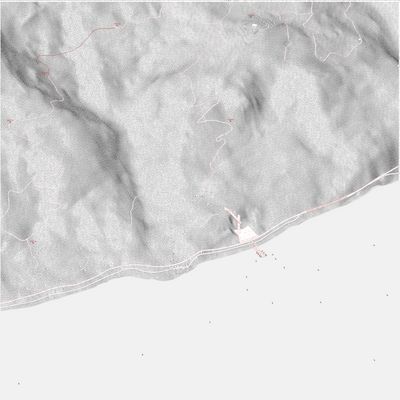
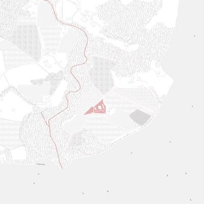
Long ago, the Aubonne River was the border betwen the diocese of Geneva and Lausanne. L’Aubonne, from the crest of the Jura to the Delta. The river has the potential, through punctual interventions, to make a continual and accessible green strip. Between Lausanne and la Côte, an open patch of agricultural land frames a dreamed piece of territory at the lake, that is worth investing in public use.
Urban Void
The disused quarry of Meillerie is one of the oldest the Léman. Over centuries, the stone extraction garbed an empty space in the steep slope. Theses stones where then transported on the Barques du Léman to the port of Geneva, where they where used for building representative buildings such as the main train station. Later on the opening of the train line (Tonkin) progressively led to the disappearance of the boat transportation on the lake. Nowadays no ship comes there anymore, the train line has been closed down for decades and the once loud extraction site stands still. Our proposal is to bring it back to life, not as an extraction site, but as a metropolitan exchange platform, a node for train, boat and car on the very frequented axis between the French and the Swiss Chablais. A Lift would also work as a vertical axis, bringing the pedestrian from the lake shore to the top of the old quarry, a beginning for a Journey to one of the bird nest overhanging the lake such as the Dent d’Oche.
