Rhone Delta: A Productive Urban GridSven Fawer, Vincent Phoen, and Tobias Stich
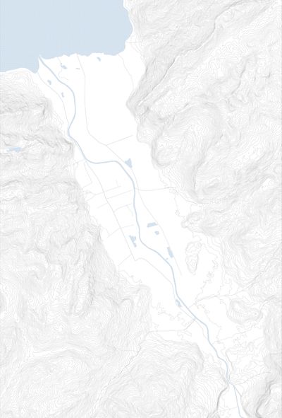
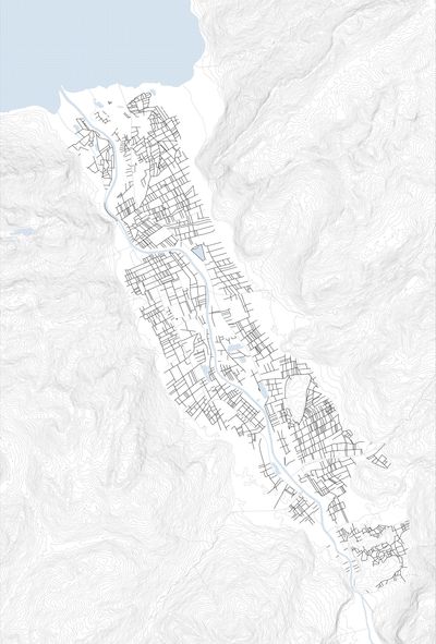
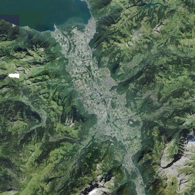
The agricultural plain and Rhone river delta is located between the slopes of the Massif du Chablais in the west and the Alpes Vaudoises on the east. This area is currently one of the most dynamic locations absorbing urban pressure from Lausanne and Montreux. The left bank of the plain belongs to Canton de Valais while the right side is part of Canton de Vaud, but both are part of the cross-border cooperation, the “Chablais region”. In terms of urban typology, the cross-section of the valley shows a similar structure along the entire stretch: a flat valley plain is covered with agriculture and scattered industry clusters, and flanked by hillsides with villages. The Rhone plain is an important agricultural cluster and is one of the most fertile soil patches one can find around the lake. Indeed, most of its surface is registered as Surface d’Assolement, and it is surveyed as a very productive zone on the soil suitability map of Switzerland.
International Connections and Polarities
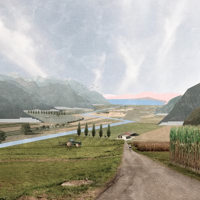
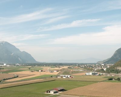
A steep forest and vineyards frame the flat valley in a mountainous landscape, while views to the north open up to the Lac Léman Riviera.
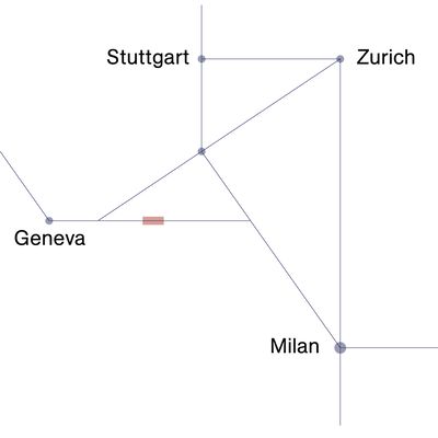
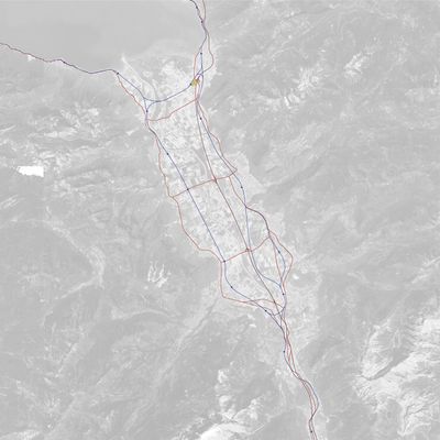
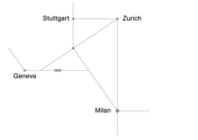
The valley is at the crossroads of international rail links and acts as a hub for the nearby mountain regions.
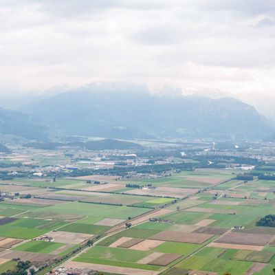
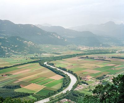
View from Chavalon towards south onto the agricultural grid and the Rhone river dividing the valley.
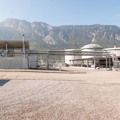
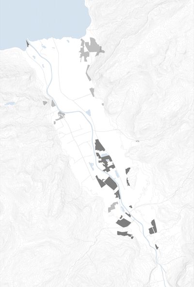
The large oil storage facilities at Collombey and the associated infrastructure form an island within the agricultural land.
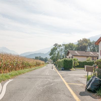
Roads form clear boundaries between agriculture and settlements along the foothills.
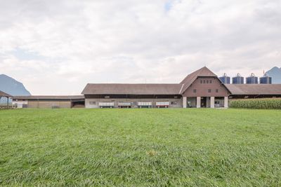
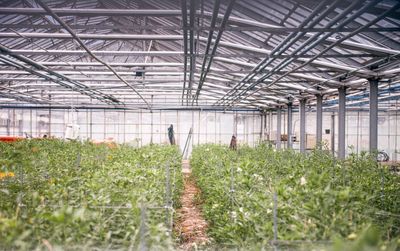
Agriculture, here, is intensive, mechanized, linked to agro-industry, and organized within big farm units, mainly above 50 ha (as opposed to the upstream small crops patterns). Those lands mainly produce grain, potatoes, and vegetables. The plain houses an important industrial cluster (with chemistry, metallurgy, mechanics, biotechnology, oil refinery) but also a large number of agro-industries (meat processing, import-export, drinks fabrication, industrial cheese, etc)
In 2009 the most recent flooding event occurred. This event made it urgent and crucial to take actions and envision a correction of the Rhone river-bed. This correction, in project since 2009, will be the third of its kind. The valley, once an unpredictable, ever-changing and hostile swamp (as depicted on a map from the period of Napoleon’s Rule) became dry and started to be inhabited, intensely cultivated and industrialized. The natural movements of the Rhone and the previous correction projects induced major changes in the land use and the landscape of the valley. It is to be expected that the third correction project might be decisive for the future of the valley. This is an opportunity to rethink and work-out the negotiation line between the forces of urban expansion, agriculture and water management, in a way that they do not oppose but coproduce the urban territory.
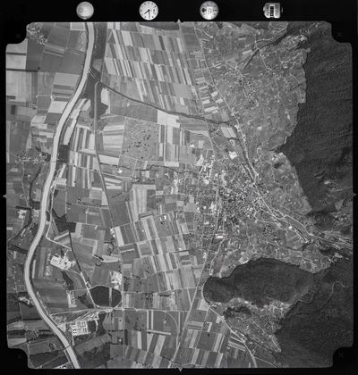
Narrow agricultural plots and first large scale industry along the Rhone occur, while the vineyards already reached the maximal expansion.
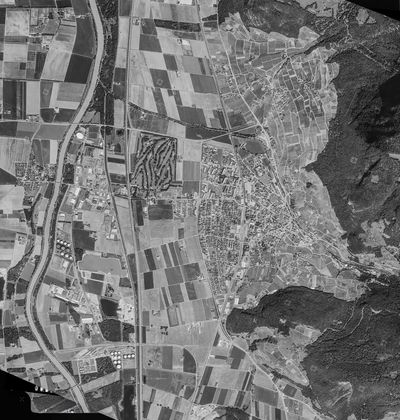
While the vineyards seem to be frozen, the village expanded towards the valley and the Meloriation and intensification of the agriculture led to larger plots.
A Common Vision for the Delta
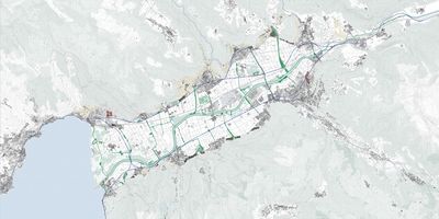
The Rhone Delta is first understood as a room with productive industry, intensive agriculture, dynamic settlements and water scattered homogeneously throughout its boundaries. Experiencing each element in various scales further divides it into both a technically controlled landscape coexisting harmoniously with pockets of picturesque views.
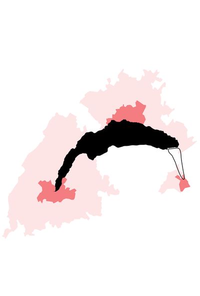
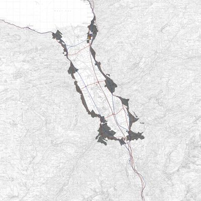
The valley defined by strong geographical elements is separated by urban gravity poles from Lausanne and Aigle-Bex-Mothey. The inefficient existing infrastructure connecting the urban cores creates an interstitial zone void of identity. Yet the valley continues to grow by acting as an urban peripheral on a larger scale resulting in the sprawling of built areas into productive agriculture land. On the other hand, current implementations of densification compromises the atmospheric qualities within the valley.
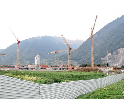
Population Growth: Vision 2050
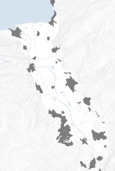
Handling population growth by reshaping potential building zones to preserve the clear border between agriculure and the new development.
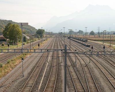
Using the Dense Network of Infrastructure
Completing existing infrastructure by introducing two crossings, to improve connectivity for the valley within itself and to the metropolitan region.
Diversity of the Landscape
Using agriculture and industry as a part of the productive landscape identity for the valley and reinforcing relations by making the landscape better accessible.
Rhone Delta: Foothill Ecology
Rhone valley, defined in totality by topographical elements, should be given a unity in vision and identity. Currently under the urban gravity of Lausanne and Aigle-Bex-Mothey, the existing infrastructure remains incomplete, the abandoned industry forgotten and zoning plans myopic.
As such, the wide agricultural land spread within the valley creates a shared experience. Preservation of the inner agricultural shape and its distinctive panoramic views motivates the reallocation of new building zones to the fringes. While joining existing villages, it also ensures that new settlements share the similar scenic views of the valley.
The Foothills
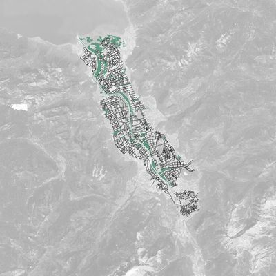
The project proposes to connect these fringe cities through public transportation by completing existing infrastructure providing a closed circle line which continently ties new and old settlements together. Additionally, a second hierarchy of slow mobility is introduced across the valley. Bicycle paths are plotted on the agricultural grid and further enhanced through scenic and commercial elements. The fringe city and its supporting network of infrastructure aims to create a new centrality and common identity for the valley.
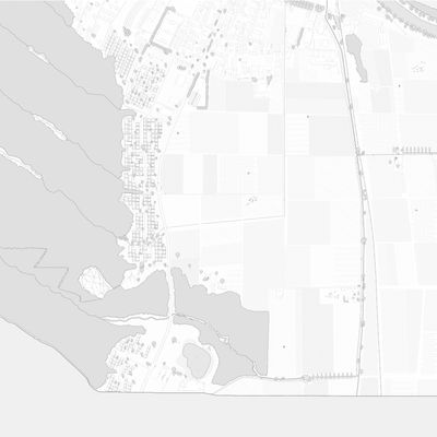
Relating functions to existing programs and new housing typologies
New Ring of Infrastructure
A new infrastructural concept to alleviate the imbalance between the eastern and western side of the valley will make two new connections at either end of the valley to allow a train to circultate, using mostly existing railway tracks. Now the western part of the valley will have a direct connection to the urban centres of Lausanne and Geneva.
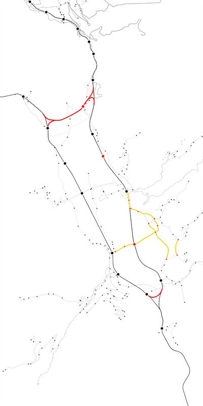
- Bus and small-scale trains
- New train connections and trains stops
- Bus stops
Slow Mobility
The proposed circulating train connects all the villages at the foothills, while at the center of the valley new leisure grounds are emerging. This intensively used agricultural plane is highly desirable for outdoor activities and can serve as a space of transversal, slow connection between the two sides of the valley. The proposal implements a series of cycle paths, new bridges and architectural additions.
